About Us
OnGeo combines GIS expertise, geospatial technology, and property data analysis to make complex location-based information easier to understand and use. For the U.S. market, we transform public records, maps, spatial data, terrain context, and local property information into clear reports that support confident decisions about land, buildings, and real estate.
To explore more products, tools, and geospatial services from OnGeo, visit the OnGeo Insights Platform .
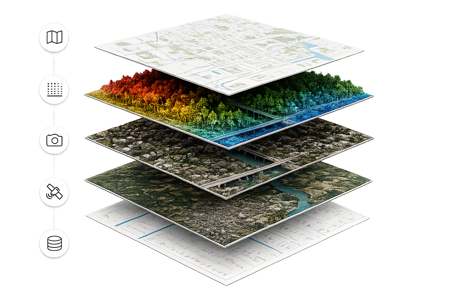
Our expertise is built on the ability to connect many layers of geospatial information into one intelligent view. We combine satellite and aerial imagery, LiDAR data, vector maps, terrain models, cadastral information, environmental datasets, and property records to reveal patterns that are not visible in a single source alone.
By transforming complex spatial data into clear, actionable intelligence, OnGeo helps users understand land, buildings, infrastructure, and surroundings with greater precision. This multi-source approach reflects the advanced technology behind our platform and the depth of analysis that supports every OnGeo product.
Our Locations
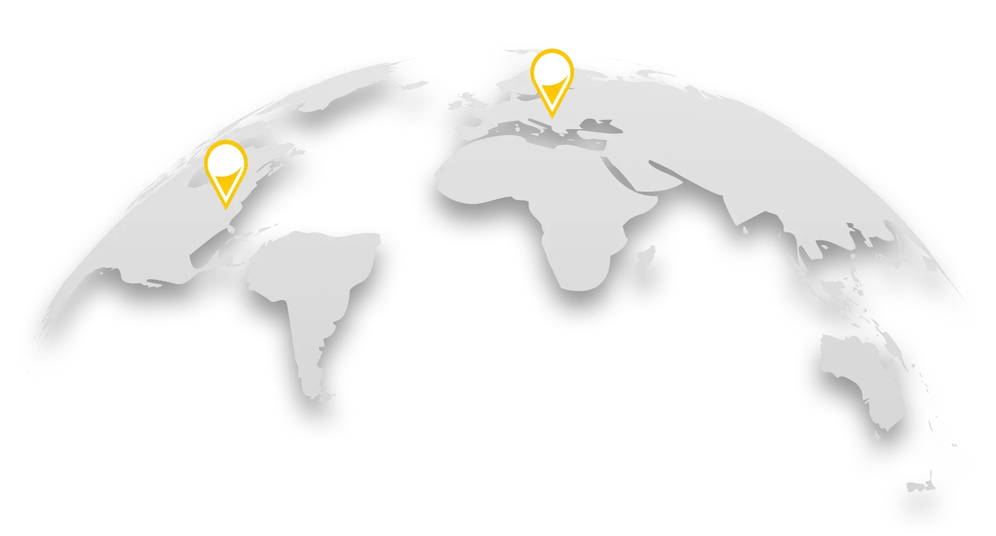
OnGeo combines global GIS expertise with local property data and regional insight, supporting better property decisions across multiple markets.
Headquarters
OnGeo LLC
8 The Green, City of Dover
Zip code 19901
Representative in Poland
OnGeo sp. z o.o.
ul. Józefa Marcika 4
30-443 Kraków